Via Scoop.it – Rights & Liberties
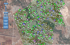
Members of the the Standby Volunteer Task Force (SBTF) Satellite Team are currently tagging the location of hundreds of Syrian tanks and other heavy mili-tary equipment on the Tomnod micro-tasking platform using very recent high-resolution satellite imagery provided by Digital Globe.
Show original
dMaculate.melange
this, that, and the other